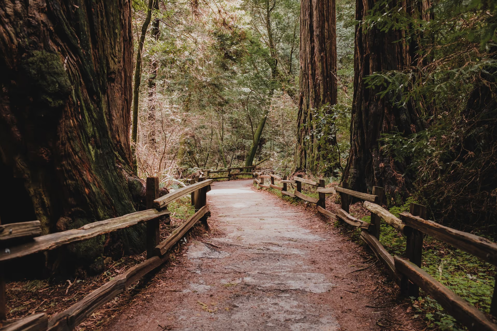
A fenced dirt trail between giant redwood trunks in a shaded forest

Dispersed camping in the USA

Camping on public land, outside campgrounds

The United States has over 400 million acres of national forest, grassland and BLM land where dispersed camping is generally allowed. Here's what it is, how the land is divided, and what the rules look like in the areas we've researched.

Start scouting

Muir Woods National Monument, California

What is dispersed camping?

Camping on public land outside a developed campground. You pick your own spot, often a pullout or clearing along a forest road. There's usually no fee, no reservation and no host.

There's also no water, no toilet and no trash pickup. Most national forests and BLM land allow it, and each area sets its own rules. The common ones look like this.

Read the full guide

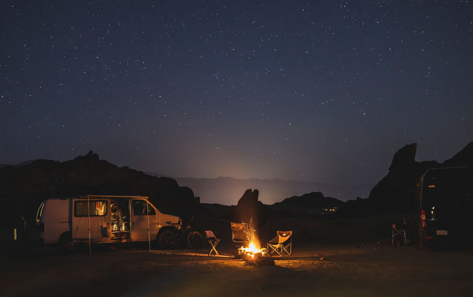
A camper van and a small campfire among boulders under a starry sky
Stay limits
Each area sets its own. BLM land usually allows 14 days in any 28. Eldorado National Forest allows 10 days per ranger district each year.
Distance from water
Camp well back from streams and lakes. Many areas set a minimum, such as 100 feet in Eldorado.
Vehicles
Drive only on roads and trails open to your vehicle. National forests publish them on a Motor Vehicle Use Map.
Campfires
Rules change with the season. California requires a free campfire permit outside campgrounds, and a fire order can ban fires altogether.
Leave No Trace
Use a spot that has been camped before instead of making a new one. Pack out everything you bring in, including food scraps. Bury human waste at least 6 inches deep and 200 feet from water, and pack out the paper.
Bring supplies
There is no water, power, toilet or store. Carry all the water you need, food, fuel, a shovel, a first-aid kit and a map that works without a signal.
Stay safe
Expect no cell service. Tell someone where you are going and when you will be back. Check the weather, fire alerts and road conditions before you leave, and turn around before a road gets worse than your vehicle.

The Forest Service and the Bureau of Land Management look after 438 million acres, nearly a fifth of the country. Much of it is open to free dispersed camping.

The map covers 239 distinct areas that support some form of dispersed camping, from national forests to grasslands to BLM field offices, down to who owns each parcel.

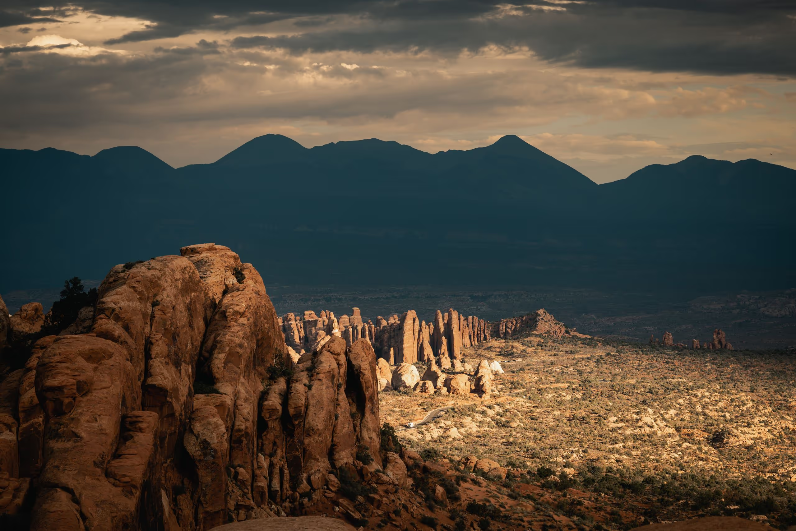
Sandstone spires and ridges in the Utah desert at sunset, with a mountain range behind
High desert, Utah

Exact area boundaries

We map areas exactly and distinguish official Forest Service areas from private property to give you confidence when locating new camping destinations.

In this view, the Forest Service owns 66% of the land inside the boundary. Zoom in on the scouting map and it shows ownership parcel by parcel, so you can tell the difference before you drive there.

What is an inholding?

KyburzPollock PinesGeorgetownPlacerville
5 miles
Forest Service landBLM landNational forest boundaryNear Pollock Pines, California. Land status from the USDA Forest Service and BLM, September 2026.
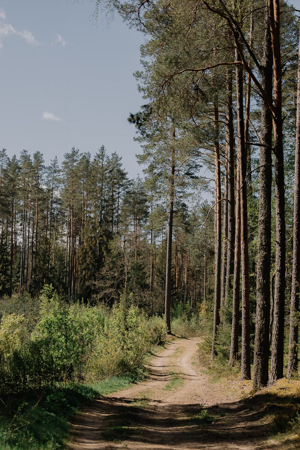
A dirt road running into a pine forest

How it works

  1. 1

    Choose an area

    Start on the national map and click a forest or field office, or type in coordinates if you already have a place in mind.

  2. 2

    Check land ownership

    As you zoom in, the map shows Forest Service and BLM parcels, ranger districts and wilderness boundaries, so you can tell public land from private before you drive out.

  3. 3

    Find a road in

    Forest roads come from each forest's Motor Vehicle Use Map, which says what each route is open to and in which months.

  4. 4

    Check the rules and save a pin

    Click a point to see the area's camping rules and the official pages they come from. Save it as a pin, or copy the coordinates to look at the spot in Google Earth.

Comprehensive data for all registered areas

For each researched area, we read the forest or field office's own pages and orders and pull out what matters when you camp. Every rule links to the page it came from and shows when it was checked.

Example areas

More areas are added regularly. Everywhere else, the map still shows land, roads and official links. See every researched area

Bishop Field Office

Checked September 24, 2026 against 17 official pages

Dispersed camping
Restricted. Dispersed camping is allowed on BLM land in the Bishop Field Office. It is limited to 14 days per year within field office boundaries. Areas posted closed and the Alabama Hills have their own rules.
Stay limit
14 days per year.
Fire order CAC09000-26-06
From June 22, 2026: Seasonal Bishop order, in effect until rescinded: no campfires or open flame of any kind. Portable stoves and lanterns with shut-off valves are allowed with a California Campfire Permit. No target shooting, and no engines off designated roads.
Campfire permit
A free California Campfire Permit is needed for campfires or stoves outside developed campgrounds. It is not needed for fires in established rings at developed campgrounds.
Fees
Horton Creek Campground costs $12 per site per night. Most BLM California campgrounds charge $4–$10 per night. The Alabama Hills camping permit is free.
Vehicles
Not allowed except in Poleta, the field office's only open riding area. Elsewhere, vehicles must stay on established roads and trails. Vehicles are banned in wilderness areas.
Closures
Rock Fire and Cinder Complex emergency closure (near Aberdeen, Inyo County), 2026-07-30 until conditions allow safe use. BLM land burned in the fires, plus some adjacent land, is closed to all public access.

Condensed. The area page and the map show the full card with sources.Area pageOfficial camping pageAlerts and orders
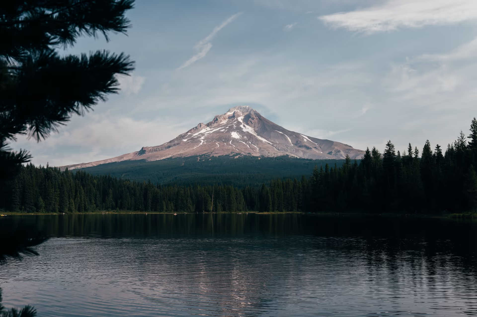
Mount Hood reflected in Trillium Lake, ringed by conifer forest
Trillium Lake, Oregon

Questions

The basics of camping on public land in the USA, and how this map fits in.

Dispersed camping

Camping on public land outside a developed campground. You pick your own spot, often a pullout or clearing along a forest road. There's no fee, no reservation and no host, and also no water, toilet or trash pickup. You bring everything in and carry everything out.

Read more: What is dispersed camping

National forests and BLM land are managed for many uses, and recreation is one of them. On most of this land, camping is allowed anywhere that isn't posted or ordered closed. That's the reverse of a park, where you camp only where you're told.

Mainly on the two big federal systems: national forests and grasslands run by the Forest Service, and land run by the Bureau of Land Management. National parks are different; they usually need a backcountry permit and a designated site. State land varies by state, and wildlife refuges generally don't allow it.

Read more: What is BLM land

The Forest Service, part of the Department of Agriculture, manages 193 million acres, mostly forested mountains. The BLM, part of the Interior Department, manages 245 million acres, mostly desert, sagebrush and grassland in the West. Both allow dispersed camping across most of their land, and each forest or field office sets its own rules. On the map, green is Forest Service and orange is BLM.

Read more: National forest vs. BLM land

Most areas allow 14 days at one spot, after which you have to move on. Some are shorter: Eldorado National Forest allows 10 days per ranger district per year, Los Padres allows 7 consecutive days, and the Bishop BLM field office allows 14 days per year. The map shows the limit for each researched area.

Read more: Stay limits and the 14-day rule

Usually neither, for the camping itself. The exceptions: California requires a free campfire permit for any fire or stove outside a campground, designated wilderness often needs an overnight permit, and a few forests need a pass to park at some sites, such as the Adventure Pass in parts of Los Padres.

Read more: Do I need a permit

It depends on the area and the season. From summer into fall, fire orders often restrict fires to developed sites or ban them altogether, and even in a normal season you may need a permit. A gas stove with a shut-off valve is usually still allowed. Check the area's alerts page in the days before you go.

Read more: Fire restrictions and fire orders

Only on roads and trails open to your vehicle. National forests publish a Motor Vehicle Use Map that shows which routes are open, to what, and in which seasons. Many forests let you pull off and park within a short distance of the road, such as one vehicle length in Eldorado. Never drive across meadows or make new tracks.

Read more: What is an MVUM

Use a site that has clearly been used before, with a bare patch or an existing fire ring, rather than making a new one. Stay well back from streams and lakes, 100 feet is a common minimum, and away from meadows, trailheads and private property. Arrive with daylight to spare.

There are none. Pack out all trash, including food scraps. Bury human waste in a hole at least 6 inches deep and 200 feet from water, trails and camps, and pack out the toilet paper, or carry a portable toilet. Many desert areas require one.

Land Congress has designated to stay roadless. Inside it, there are no motor vehicles or bicycles, only foot and stock travel, and overnight stays often need a permit and have group-size limits. Dispersed camping in wilderness means backpacking to it.

Read more: What is a wilderness area

Expect no cell signal. Carry water, an offline map and enough to be self-sufficient for a night longer than you plan. Tell someone where you're going and when you'll be back. Forest roads can be rough, wet or snowed in, so check the weather and road conditions, and turn around before you get stuck.

About Nomad Field Guide

Yes. Browsing needs no account. Sign in with Google to save pins.

No. It shows land ownership, roads and each area's published rules so you can choose your own spot. There are no user-submitted campsite lists or reviews.

Not always. Closures, wilderness rules, fire orders and posted signs can apply to public land. The map helps you narrow things down; the rules on the ground have the final word.

Map layers come from the USDA Forest Service and Bureau of Land Management, and place names from the USGS. Detailed boundaries and roads load from the agencies' map services as you zoom in. Area rules come from each forest or field office's own website and orders, and show the date they were checked. Fire orders and closures change often, so check the area's alerts page before you go.

The wilderness awaits

The mountains are calling and I must go.

John Muir·Letter to his sister Sarah, 1873

Start scouting

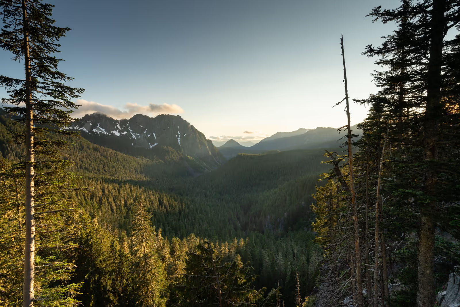
Forested valley, Washington